Ted Clement

Surveyor, cartographer and GIS specialist. I make maps, and I fly drones to map the ground they cover.

See aerial workSee maps

About

After my plans of making the NHL and charting a Billboard hit didn't pan out, several years of retail jobs led me back to school. A first-year course in Geographic Information Systems made the next step obvious, and I enrolled in the School of Geography at McMaster University.

I earned a Bachelor of Arts in Geography from McMaster, focused on Canadian geography and Geographic Information Science, then completed the Cartographic Specialist program at Sir Sandford Fleming College.

At Fleming I focused on the principles of map production: colour, typography and symbology. I fell in love with endlessly refining a map in Photoshop and Illustrator, and a few favourites are in the Maps section below.

Today I work as a surveyor, bringing GIS and cartography into the field, including drone mapping and photogrammetry. I'm working toward my GISP certification.
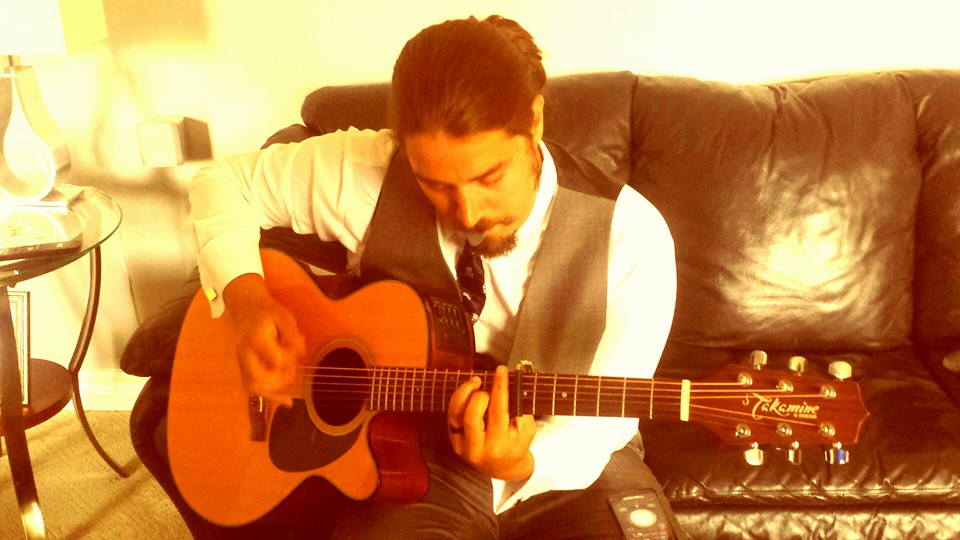
Ted Clement with a guitar

Aerial & Drone

Photography, film and survey-grade orthomosaics captured by drone and processed through photogrammetry.

Orthomosaic of a surveyed site

Orthomosaic: site name

A short note on the job: what was surveyed, why, and what the deliverable was used for.

  • AircraftYour drone model
  • Area0.0 ha
  • Ground resolution0.0 cm/px
  • ProcessingAgisoft Metashape
  • ControlGCPs / RTK

Orthomosaics & models

Orthomosaic: site 1
Orthomosaic: site 2
Elevation model (DSM)

Photography & film

Aerial photograph
Aerial photograph
Drone film (watch on YouTube)

Maps

Cartography and GIS projects. Select a map to view it full size.

Lake Ontario bathymetry
Labrador story map
Mt St Helens terrain
Radial flow map
Water infographic
Oshawa topographic
Westdale basemap
Vintage neighbourhood
Kennecott copper mine

Contact

Open to surveying, mapping and GIS work.

Location
Hamilton, Ontario
Phone
(905) 741-6686
Email
tedclement9@gmail.com

Download resume